


STEVENSON

chasle
User
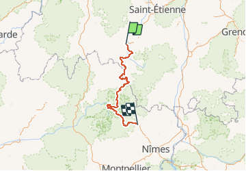

Length
274 km

Max alt
1699 m

Uphill gradient
8074 m
Km-Effort
383 km

Min alt
127 m

Downhill gradient
8586 m
Boucle
No
Creation date :
2018-04-17 20:17:27.403
Updated on :
2018-04-17 20:17:27.403
--
Difficulty : Unknown

FREE GPS app for hiking
 SityTrail
IGN / Geographical institutes
SityTrail Plus
The world is yours!
About
Trail Walking of 274 km to be discovered at Auvergne-Rhône-Alpes, Haute-Loire, Le Puy-en-Velay. This trail is proposed by chasle.
Positioning
Country:
France
Region :
Auvergne-Rhône-Alpes
Department/Province :
Haute-Loire
Municipality :
Le Puy-en-Velay
Location:
Unknown
Start:(Dec)
Start:(UTM)
569511 ; 4988159 (31T) N.
Comments